Tool to predict crop instability to be developed at WashU, Arizona State
Nathan Jacobs, collaborators win award from Taylor Geospatial
Nearly 350 million people worldwide are experiencing a severe food shortage due to global conflicts, climate change, and rising food and fuel costs, according to the World Food Program USA. A team of researchers is using geospatial initiatives to design new tools to address this challenge.
Nathan Jacobs, professor of computer science & engineering in the McKelvey School of Engineering at Washington University in St. Louis, and his collaborators plan to develop a geospatial artificial intelligence (GeoAI) capability to find early signs of instability in crop production with an up to $550,000 grant from the Geospatial Innovation for Food Security Challenge, sponsored by Taylor Geospatial. The challenge is designed to turn data into actionable intelligence for global food systems. Recipients will also participate in an 18-month program to move from proof-of-concept to operational deployment.
Jacobs, also assistant vice provost for digital transformation and co-director of the WashU Geospatial Research Initiative, will collaborate with Hannah Kerner and Ana M. Tárano at Arizona State University, as well as researchers from NASA’s Goddard Space Flight Center, NASA Harvest/University of Maryland and the Famine Early Warning Systems Network (FEWS NET), which provides early warning information about food insecurity. Researchers from NASA Harvest and FEWS NET are implementation partners.
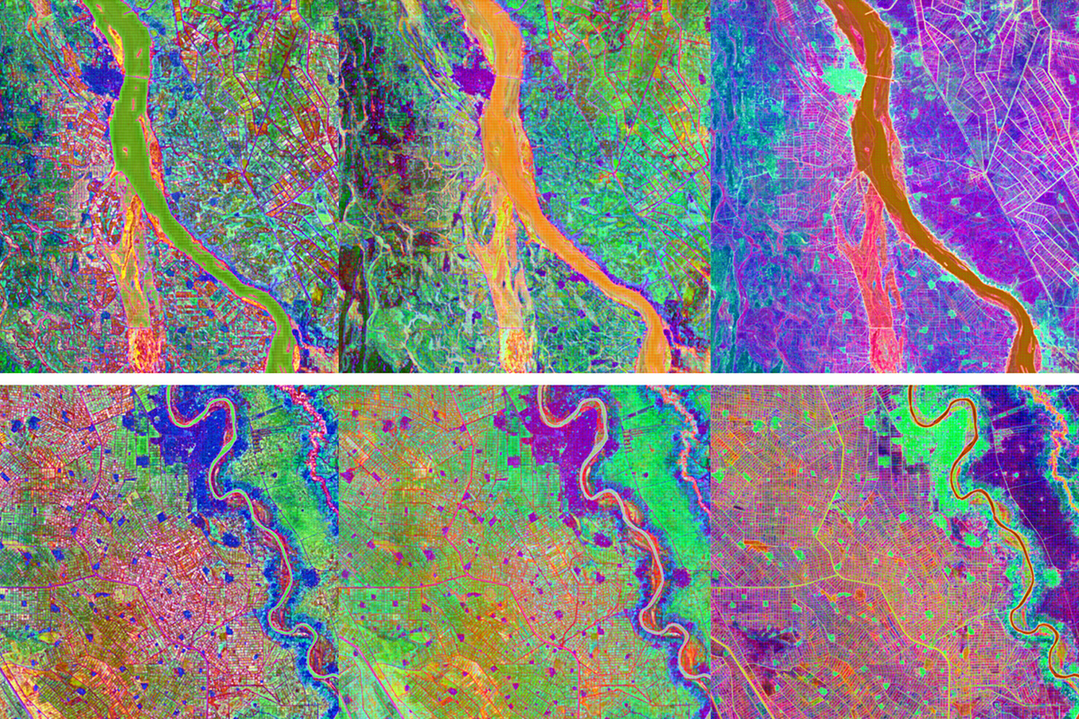
The project aims to develop new methods to use satellite data to provide in-season insights that may find gaps and help to support organizations that work to anticipate food security risks. The team will test its open-source tool in areas of active conflict, including Sudan, Ukraine, Syria and Haiti, though they expect the model to be applicable to any active conflict region.
Other recipients of the GIFS award are the World Food Programme in partnership with the REACH Initiative, which will develop a system that tracks hazards affecting food access and supply routes; and the University of Missouri and MU Extension, which is focusing on “water first” GeoAI model development to improve nitrogen application decisions.
Click on the topics below for more stories in those areas
Back to NewsFaculty in this story

Nathan Jacobs
In the Media
Devex Dish: Can AI speed up aid delivery? Yes, but don't expect miracles